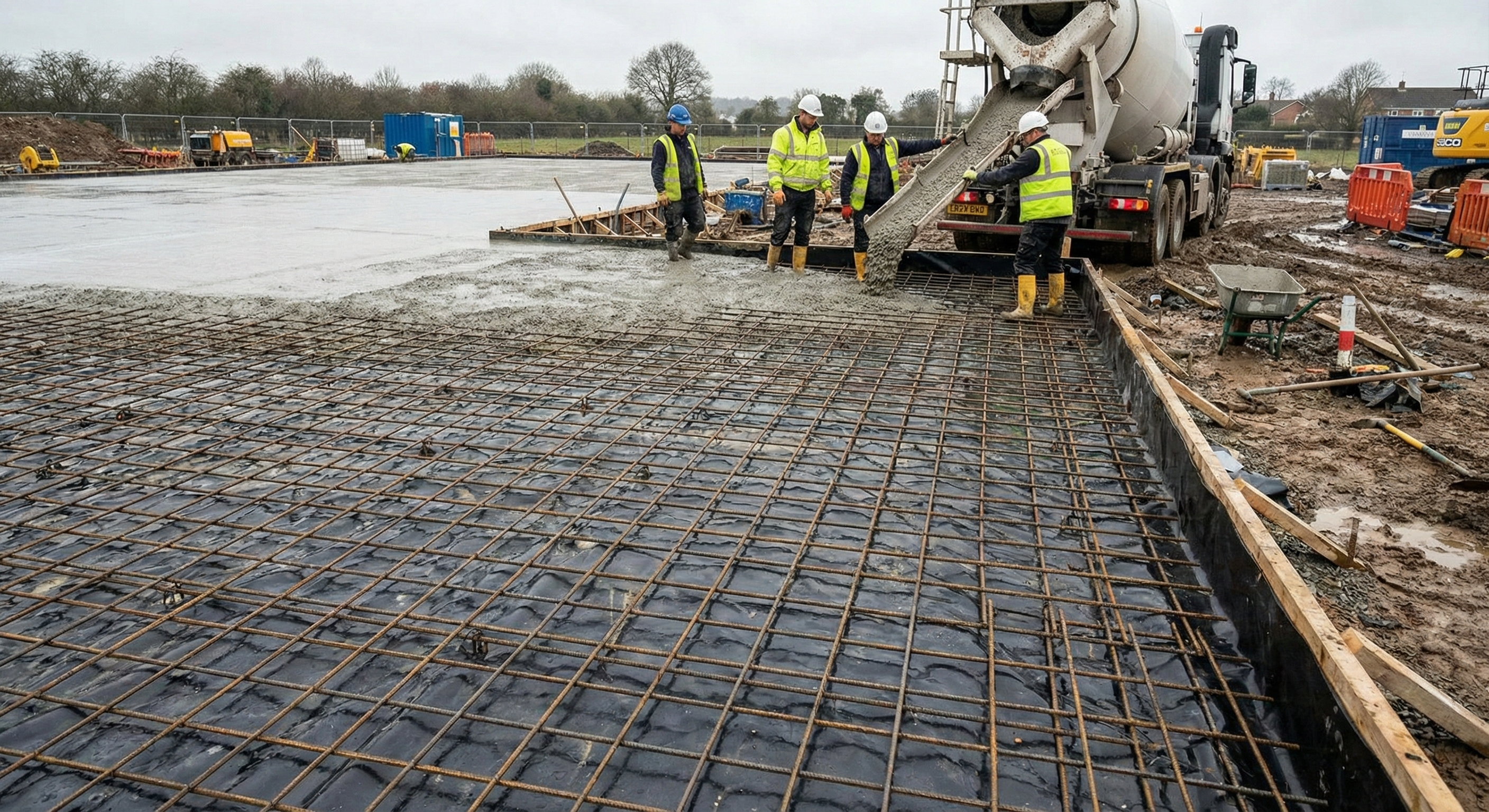
Groundworks in Guildford
We are your local A3-corridor engineers. Navigating the Gyratory, the River Wey floodplain, and the steep chalk of the Hog's Back with precision and speed.
Engineered for The Gap
Guildford sits in a geological "Gap" carved by the River Wey through the North Downs. This creates extreme variations in ground conditions, from the waterlogged silts of Millmead to the solid chalk of Merrow.
River Silt vs. Chalk Spine
If you are building in **Shalford, Millmead, or along the Wey**, you are likely dealing with Alluvium and River Terrace Deposits. These are soft, compressible soils with a very high water table, requiring deep piling and de-watering.
Conversely, properties on **The Mount, Pewley Hill, or Merrow** sit on the Chalk Spine. Here, the challenge is excavation hardness and steep gradients. We have the rock-breaking breakers and the slope-stabilization experience to handle both extremes.
For riverside properties, we use displacement piling that doesn't bring up spoil (avoiding contamination issues) and anchors firmly below the soft silt layers.
For The Mount and Onslow Village, we engineer reinforced retaining walls and terracing to create usable garden space on steep chalk inclines.
River Wey Flood Defense
The River Wey is beautiful but prone to flooding. Guildford Borough Council enforces strict SUDS (Sustainable Drainage) compliance. We ensure your new build or extension is protected from the rising water levels associated with the town center.
Non-Return Valves
Essential for properties in GU1 lowlands. These valves automatically close the sewer connection if the main sewer back-surges during a flood.
Permeable Attenuation
We install large sub-surface crates under driveways in Burpham and Merrow to hold storm water and release it slowly, satisfying GBC planning conditions.
Steep Gradient Drainage
On steep hills (Pewley/The Mount), rapid runoff can damage foundations. We install interceptor drains to catch and divert water before it hits the structure.
Planning Resources
Guildford Planning
Check constraints for Town Centre conservation areas and flood zones.
Visit Portal →Environment Agency
View the official flood risk map for the River Wey and tributaries.
Check Postcode →Thames Water
Developer services for build-over agreements and sewer connections.
Developer Services →